Caves and shafts in Lluçà
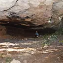
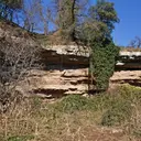
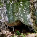
Lluçà, which gives its name to the comarca of the Lluçanès, sits at one of the highest points of this plateau, with the old monastery of Sant Pere de Lluçà as the main heritage landmark of the municipal area. The rolling relief and the woods surrounding the village define an inland landscape, a transition between the Vic plain and the pre-Pyrenees, where the limestone bedrock generates some cavities.
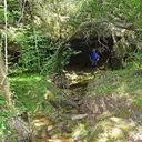
19 cavitats in Lluçà have been catalogued. La Tronassa de la Tor, amb 50 m de recorregut.
The surveyed length of the caves with this data ranges from 4 to 50 metres. The depth ranges from 1 to 6 metres. 2 different rock types are recorded here. You can check the full entry for location, access and, where available, photographs and survey maps. The whole set of caves on this page can also be downloaded as CSV or JSON.
County: Lluçanès
Rock Types
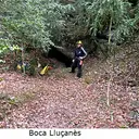
- La Tronassa de la TorCuriós fenomen subterrani d'uns 50 m. de recorregut entre el Lluçanès i el Berguedà.
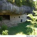
- Balma Nº1 dels RaconsGran balma amb un antic habitatge dins, a Lluçà
- Cova del LladrePetita cova de 20 m a Lluçà (Lluçanès)
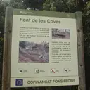
- Balma Nº1 de la Font de les CovesConeguda balma a Lluçà, habilitada com àrea recreativa.
- Balmes de la Font dels BousBalmes superposades a Lluçà.
- Balma Nº2 dels RaconsBalma allargada i omplerta en bona part per grans blocs, a Lluçà.
- Balma del Pont de les HeuresBalma a la riera de Merlès, Lluçà (Lluçanès)
- Balma Nº3 de la Font de les CovesBalma de poca importància a Lluçà
- Balma de la FigueraAmagada balma al torrent de Sant Joan (Lluçà)
- Balma del PratBalma de grans dimensions a Lluçà (Lluçanès)
- La TronassetaPetita balma a Lluçà (Lluçanès)
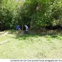
- Balma de Cal CoixPopular i coneguda balma a Lluçà (Lluçanès)
- Balmes del GaretConjunt de dues balmes vora Lluçà (Lluçanès)
- Balma de l'EstradaConeguda balma a Lluçà (Lluçanès)
- Balma de la Font GuilleraAllargada balma a Lluçà/Prats de Lluçanès
- Balma de la Font de la TeulaPetita balma amb font interior a Lluçà
- Balma dels ConillsPetita balma a Lluçà (Lluçanès)
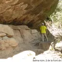
- Balma Nº2 de la Font de les CovesBalma de poca importància a Lluçà
- Balma del GrauPetita balma de només 4 m. de fons a Lluçà