Caves and shafts in Ripoll
Ripoll, capital of the Ripollès, sits at the confluence of the rivers Ter and Freser, at a point symbolically considered the cradle of Catalonia thanks to the monastery of Santa Maria de Ripoll, founded by Count Guifré el Pilós in the 9th century. Its municipal area climbs towards the Pyrenean foothills surrounding the town, a relief where the cave catalogue finds its prepirineu geological context.
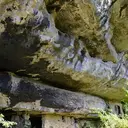
7 cavitats in Ripoll are part of the catalogue. Balma de les Fleus, amb 17 m de recorregut.
The surveyed length of the caves with this data ranges from 5 to 17 metres. 2 different rock types are recorded here. Each entry includes exact location, coordinates and, where available, photographs and survey maps, with a downloadable GPX track. The whole list on this page can also be exported as CSV or JSON.
County: Ripollès
Rock Types
- Balma de les FleusGran Bauma de 17 metres de fons a la serra de Milany.
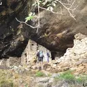
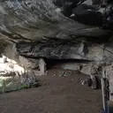
- Bauma del TeixidorGran Bauma obrada a Llaés (Ripoll).
- La BaumassaGran Bauma obrada a Llaés (Ripoll).
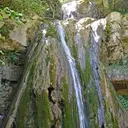
- Cova-Balma del Salt del MolinotPetit, però curiós fenomen en tosques a la riera de Milany (Ripoll)
- Bauma de la FumadaBauma que no arriba als 5 metres de fons a la serra de Milany
- La BaumetaPetita bauma obrada a Llaés (Ripoll).
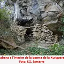
- Bauma de la XurigueraPetita bauma obrada a Llaés (Ripoll).